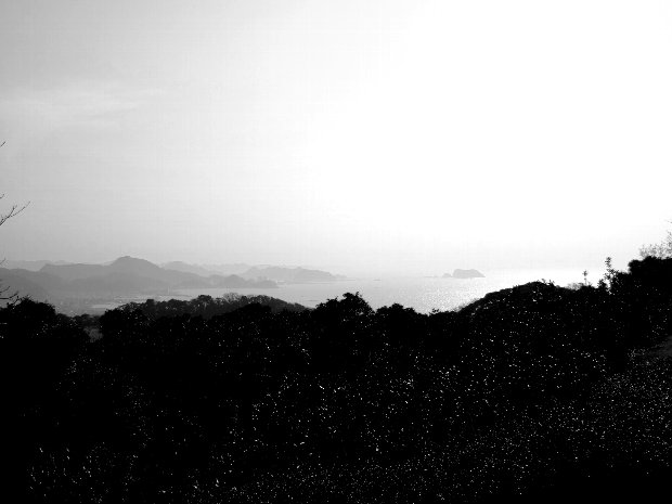
The south half of Boso peninsula is situated in low latitude area,so its climate is rather mild. Kyonan town,Chiba Pref. Fujifilm finepixf30
 This cobble was transported by water from highland which is
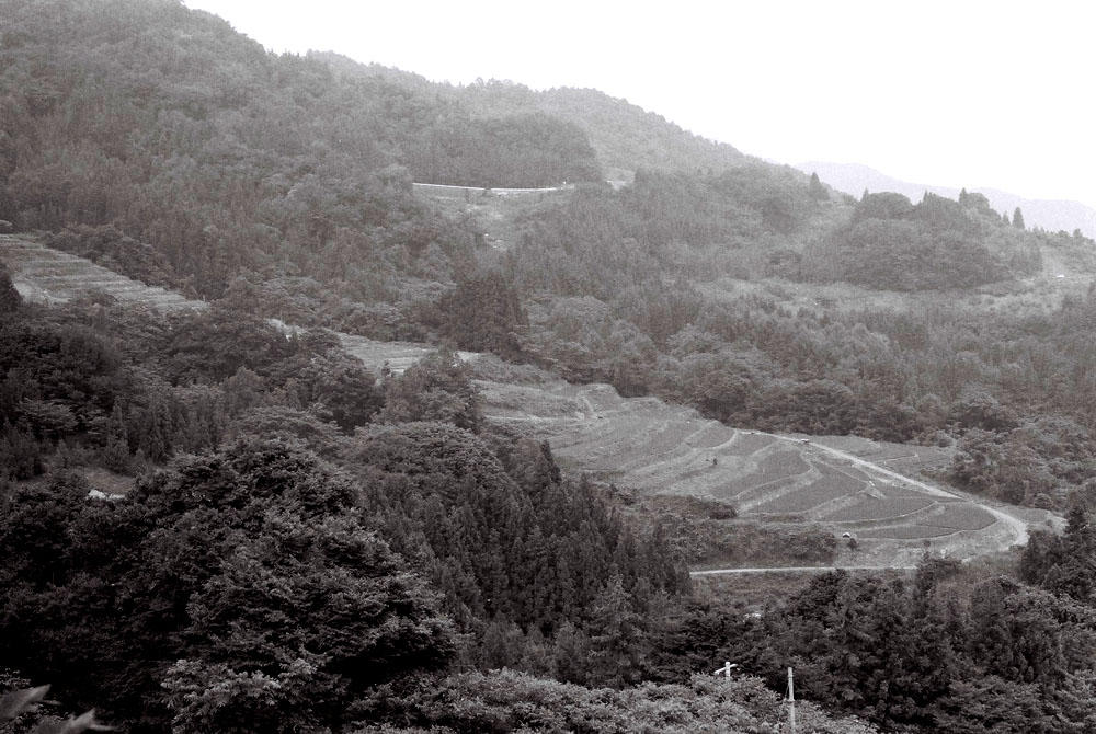
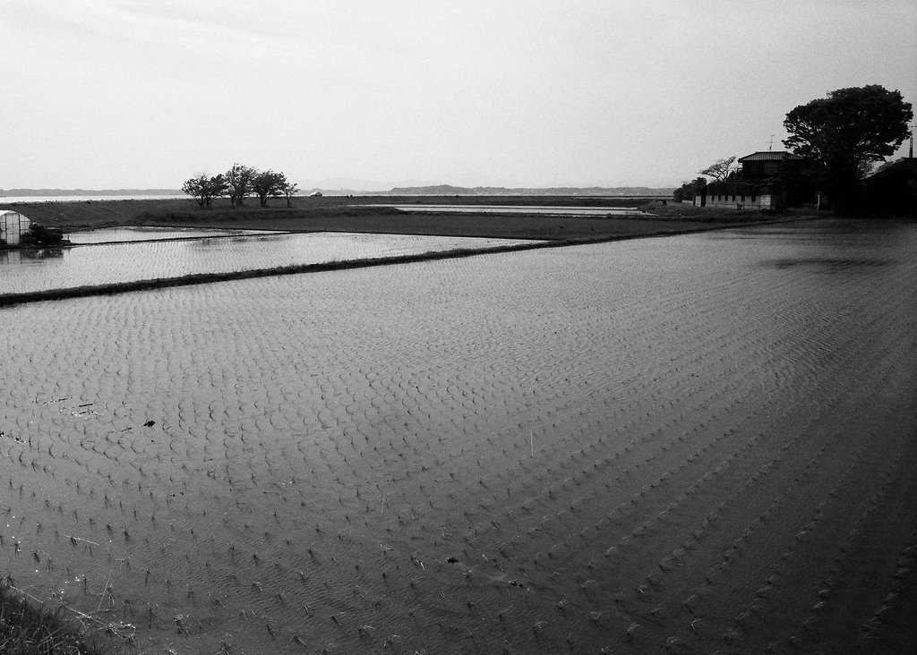 rice field after rice planting,Kasumigaura,Ibaragi Pref. MinltaX700 rokkor28mm konicaminoltapan400
 UENO STATION is one of main terminal stations in Tokyo. Most trains for northeast Japan leave from this station,Tokyo,Japan. Flexaret3 Mirar80mm Tri-x
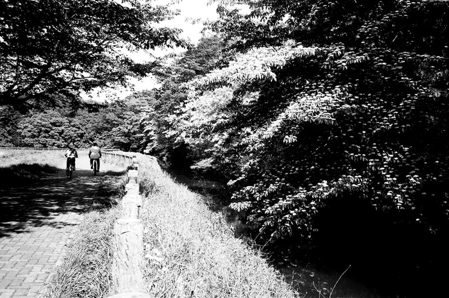
 These trees are Japan ceders(Cryptomeria japonica)afforested and well kept,so they have grown straight upward. Mizunami City、Gifu Pref.
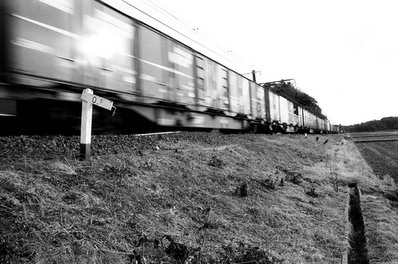 This train goes for Tokyo from Kashima(鹿島) port on Narita line.
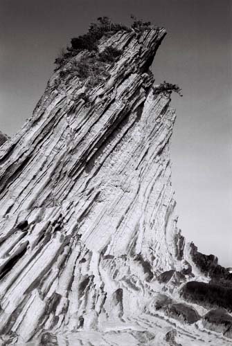
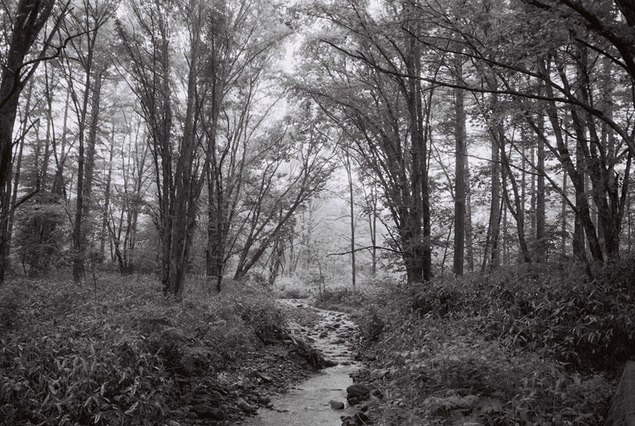
 Hukazawakyo(深沢峡) is a ravine in the middle reach of Kiso River(木曽川).This is far from main route、so few people visit there. Gifu Pref、central Japan.


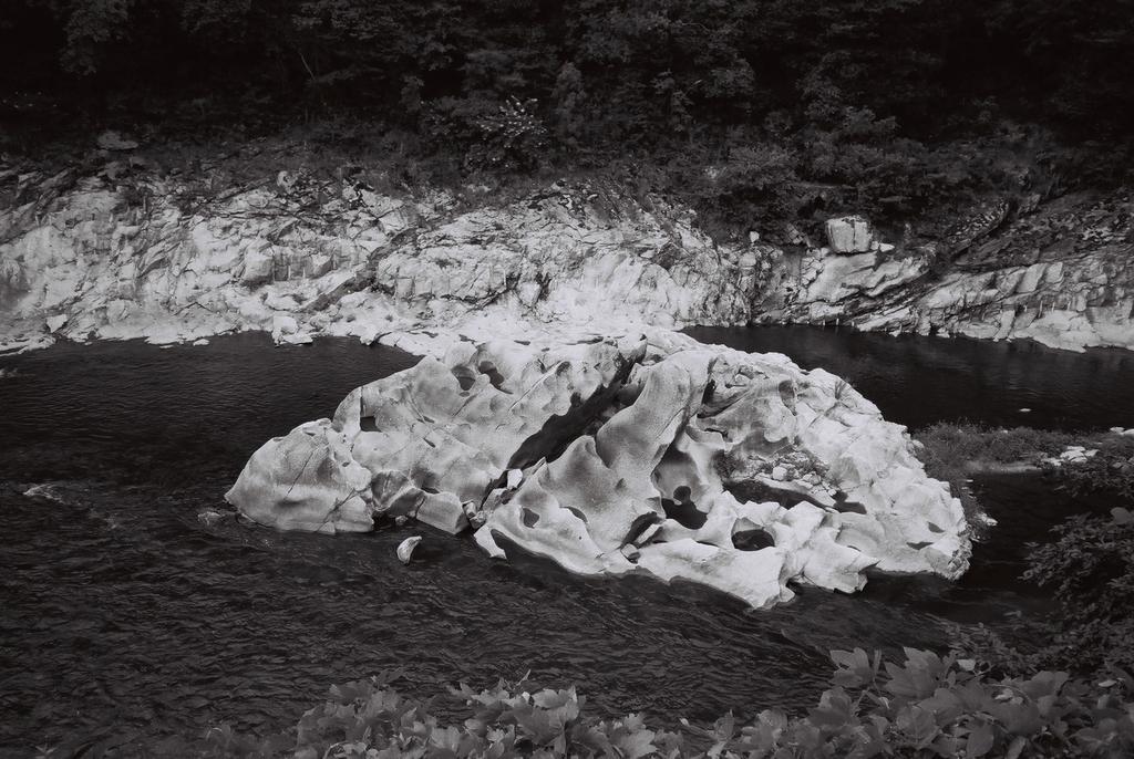
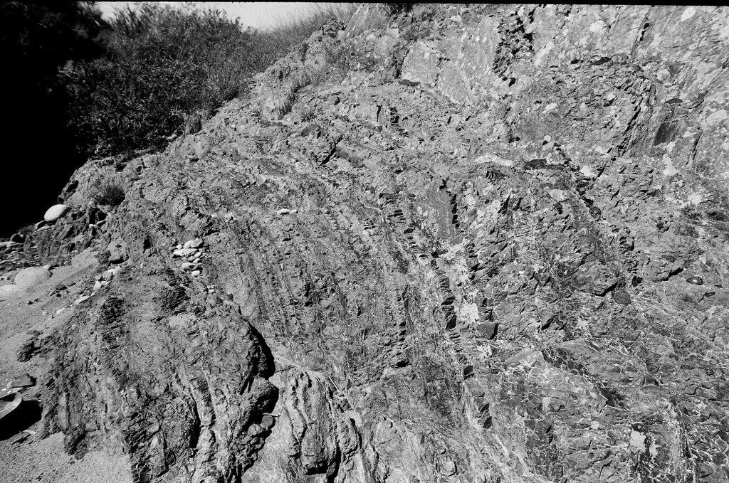 Stratified chart This rock was deposited on bottom of deep sea(old Pacific)in Mesozoic about one hundred million years ago. Minokamo city ,Gifu Pref. ASAHI PENTAX SP Takmar 20mm Konicaminoltapan400

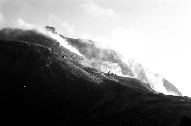


Mt. Haruna-Fuji,Gunma Pref.,Central Japan
This is a volcano in caldera.
Haruna is called Pompei of Japan.
Nikomat FTN Nikkor50mm Tri-X 2005.1


