
Kyocerra slimT Konicaminoltapan400


 We can see this stone statue at a crossroads in farm of Chiba pref.
 Genus Fagus was distributed continuously along medium latitude in ancient times.But now we can see it only at Japan ,north america ,Europe.
 Houses are scattered on mountainside along Tenryu river.Loud voice seems to reach the house on the other side of the valley.Around the houses, tea is cultivated.


 This reservoir appeared by construction of Funagira dam on the Tenryu River.Tenryu River has five dams,and Funagira dam is situated at the lowest reach of the five dams.

 The rice field is on the river terrace of Tenryu river.The easy slope seen at the center of the photo is alluvial fan.
 Along Tenryuu river we can see green tea farm.Cultivation of tea is main industry ,because no flatland there.
 On the left bank of Tone river we can see vertical cliff.This is welded tuff from the volcano Mt.Akagi,Shibukawa city,Guma pref.
 Nakasendo was main route from Edo to Kyoto in Edo period(17-19C).

 This village is situated on the slope of valleyside of Tenryu river.


 This is horizontal line of Pacific ocean.


Mt. Takahara is a mountain in northern Tochigi prefecture, which stopped it's volcanic activity about 0.1 million years ago . Valley of the photo is former crater. Obsidian is yielded in Mt. Takahara. At Kenngamine in left part of the photo, a old stone age mine of obsidian has been found . Stone tools made of obsidian yielded in Mt. Takahara are found in many parts of the Kanto area. Minolta X700 NEOPANACROSS100 | |


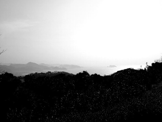
 HOTA is situated in south part of Boso peninsula.It's climate is rather warm.The sea lefthand is Tokyo bay,Kyonan town,Chiba Pref.Fujica GS645 NEOPNPRESTO400(original print)


 This cobble was transported by water from highland which is
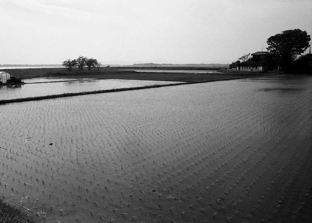 rice field after rice planting,Kasumigaura,Ibaragi Pref. MinltaX700 rokkor28mm konicaminoltapan400
 UENO STATION is one of main terminal stations in Tokyo. Most trains for northeast Japan leave from this station,Tokyo,Japan. Flexaret3 Mirar80mm Tri-x

